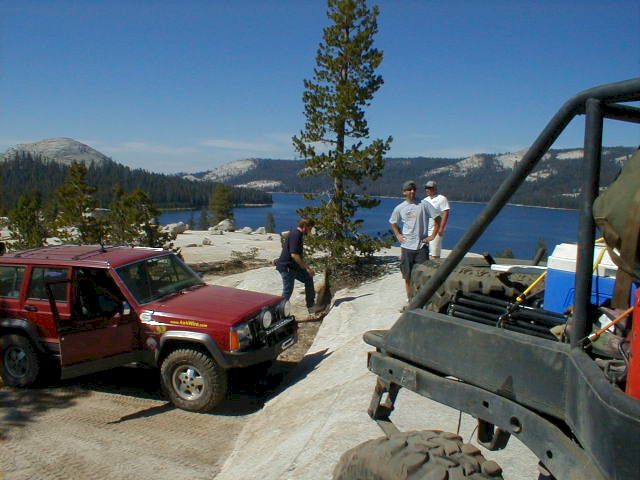
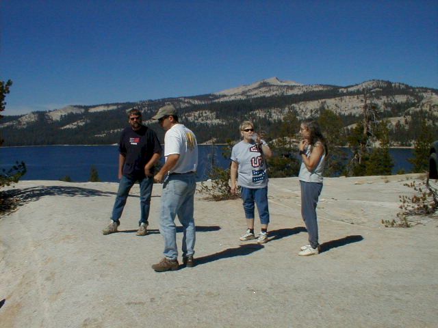
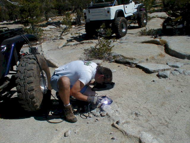
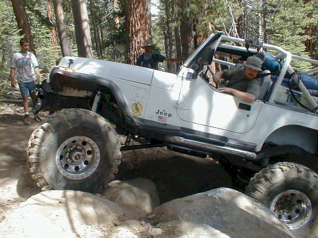
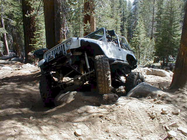
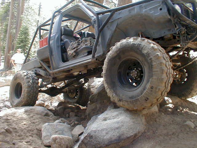
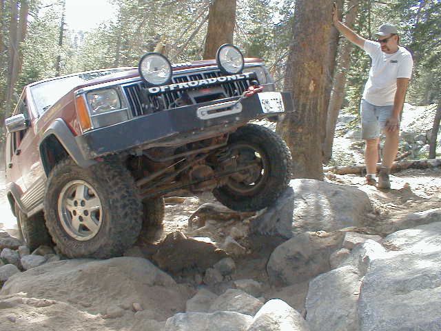
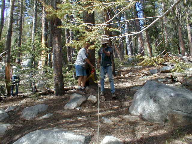
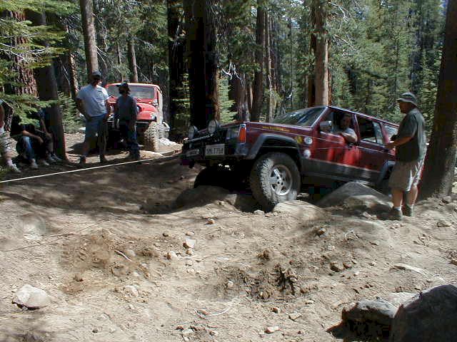
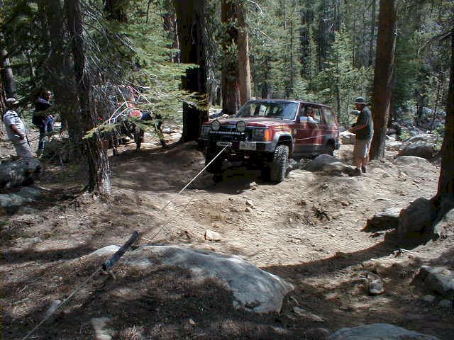
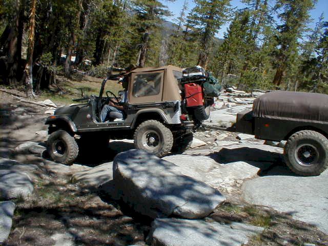
This must be the most difficult trail in California and certainly one of the toughest in the nation. Each section of the three-day trail is as challenging as the next, with some really hard spots mixed in.
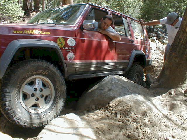
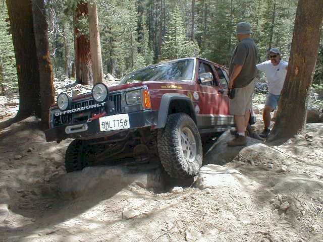
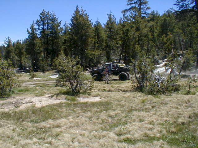
Jeep Cherokee | Back to Trail Shots
Dusy-Ershim OHV Route 2002
|
Dusy-Ershim OHV Route, July 3-6, 2002. This must be the most difficult trail in California and certainly one of the toughest in the nation. Each section of the three-day trail is as challenging as the next, with some really hard spots mixed in. |
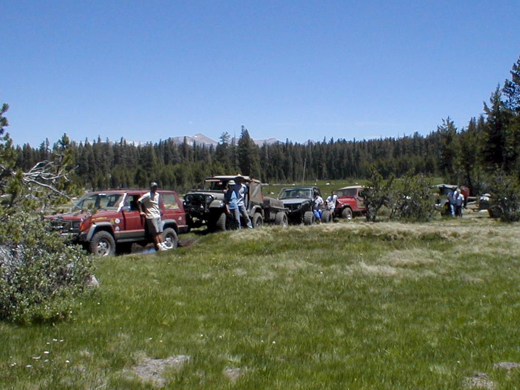
Ray and Darlene Mosher - Jeep CJ-7*
Mark and Margaret Booker - Jeep CJ-7*
Mike Garnett and son Matt - Jeep CJ-7
Bob Russell - Toyota pickup (need a better description, but don't know Yotas)
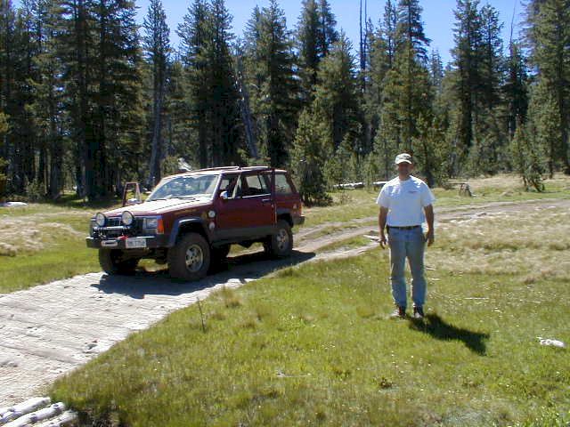
Berkeley Johnston and brother Erik - Jeep XJ Cherokee
With special guests Super Dave driving his Ford-powered Toyota FJ-40* and Dale with his built Jeep YJ.
* Special recognition for these folks who were pulling trailers. As if it wasn't hard enough!
Writeup goes here...
The following text is copied from the Forest Service handout. IMO, it could use some corrections, additions and double-checking for grammar and content.
Dusy-Ershim OHV Route
Kings Rover and Pineridge Ranger Districts
Sierra National Forest
Notice: John Miur and Dinkey Lakes Wilderness boundaries begin on each side of the Dusy-Ershim OHV Route, which is 300 feet from the center line of the route in both directions, or 600 feet wide, or as posted by signs on the ground.
| Campsites | Mileage | Driving Time |
| Voyager Rock Thompson Lake Summit Lake East Lake Ershim Lake Lakecamp Lake Kaiser Pass |
3 11 14 17 22 26 31 |
1/2 hour 6 hours 7 hours 10 hours 13 hours 16 hours 2 to 3 days |
Difficulty Rating: Most Difficult. Recommended for advanced drivers. A route requiring a high degree of skill and challenge to travel. Not recommended for full-size pickups, long wheel base vehicles or for traveling alone.
Directions to Route: Follow McKinley Grove Road to Courtright, and turn left to Courtright Reservoir. Cross the dam on the east side of the lake and stay on the road to the Dusy-Ershim OHV Route sign.
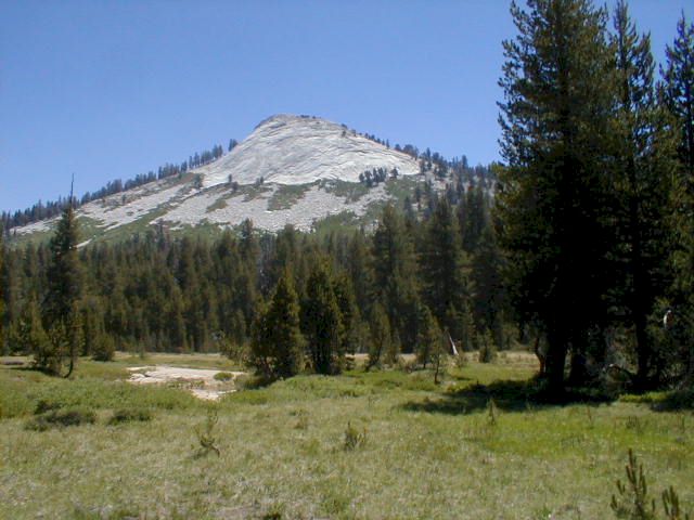
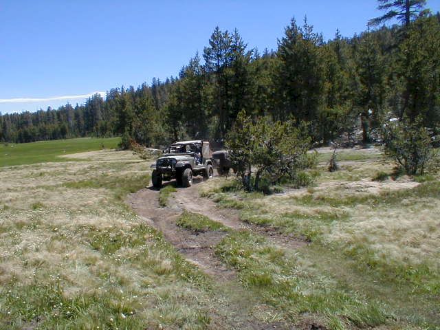
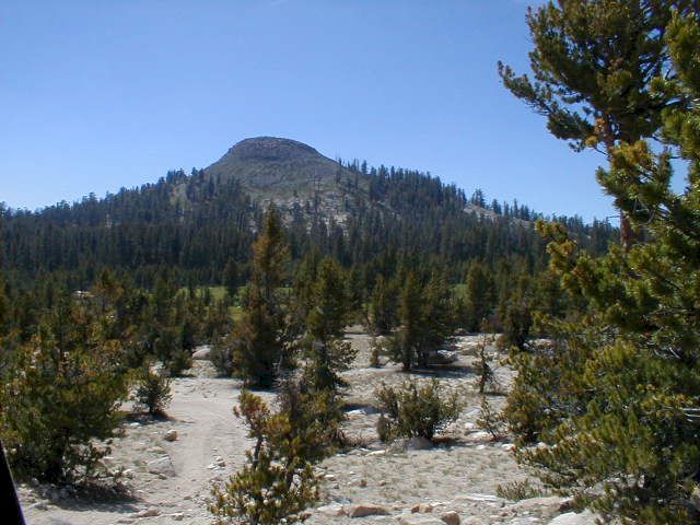
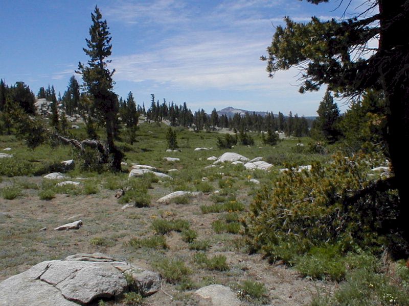
The route begins at 8,400 feet elevation, with many open rocky areas. Be aware that portions of the trail cross large granite slabs and are marked with rocks. Elevation rises to 10,000 feet at Thompson Lake, remaining at the 9,000 to 10,000 foot range for the rest of the route.
The Route: The first mile of the route is shared with foot and horse traffic. Please be considerate of other users and allow them safe passage.
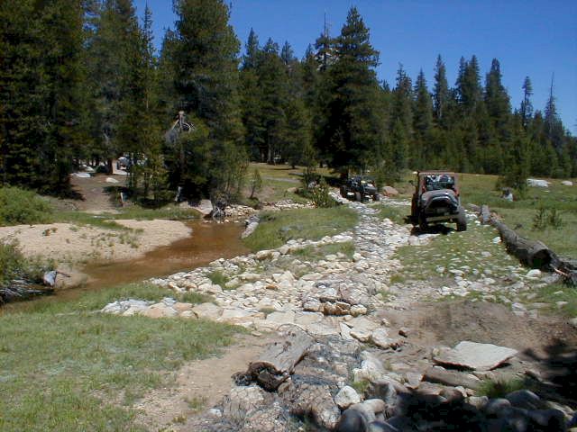
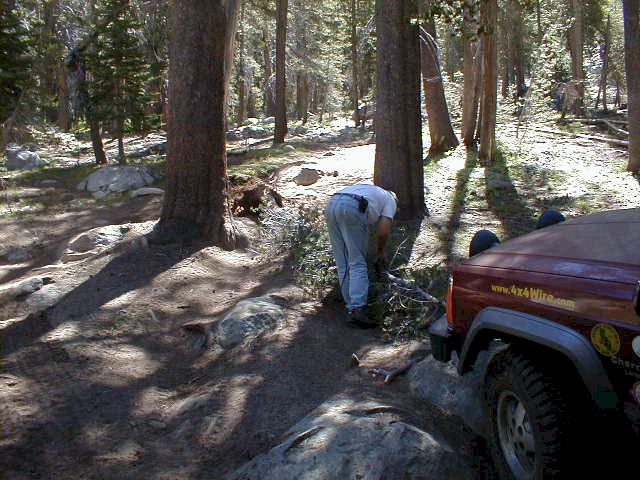
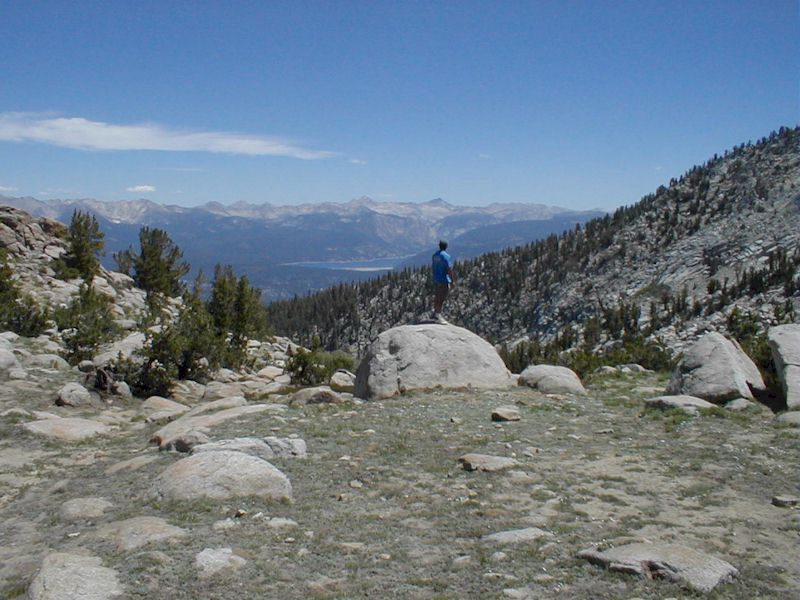
Voyager Rock Campground has fire grates and tables, and is a popular camping area for fishing Courtright Reservoir. Leaving the campground, keep to the left as the "fun" begins at Chicken Rock, a definite attention getter. The panoramic view of the Le Conte Divide from the top is breath taking. The route wanders on to Dusy Creek where 4WD enthusiasts built the crossing over the creek.
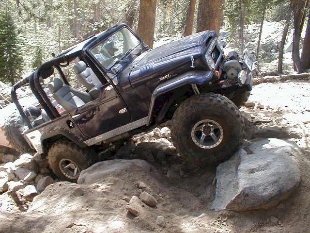
Three hours ahead, is the very challenging stretch of road known as "Thompson Hill." Vehicles should have a body lift, running fairly cool and hitting on all cylinders. Even tires with aggressive tire tread will benefit with reduced air pressure. Even with all of this preparation, several stops may be necessary to throw a few rocks in the right places for traction. Access into Thompson Lake is closed at the wilderness boundary. A camping site with room for a few vehicles and tents is available here. The walk to the lake is short and easy.
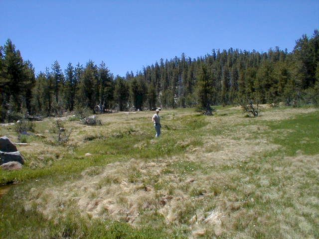
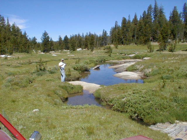
Continuing on the route, Summit Lake is about an hour from Thompson Lake. Summit Lake does not have a defined camping area, so please use care in choosing your site away from the meadow area.
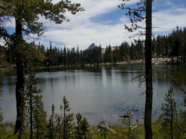
The next stop available is East Lake, which is not visible from the route making it easy to miss. It's only a short walk to good fishing and an excellent photo spot with picturesque Dogtooth Peak in the background.
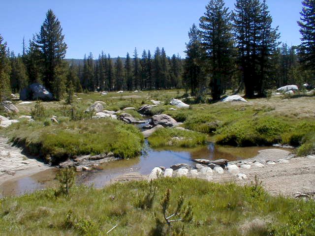
Ershim Lake is next with lots of space for camping and parking. Follow signs to campsites. The route from the top of Thompson Hill to Ershim Lake is fairly tame. However, the scenery becomes more interesting than the challenge of the route. This will soon change.
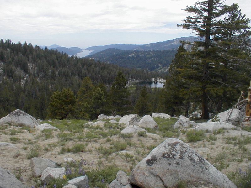
It will take about three hours to cover the four miles to Lake camp Lake. Rainbow Trout make Lakecamp unique as the other lakes along this route have Brook Trout. Another fishing spot, Mallard Lake, is an easy 20 minute walk beyond Lakecamp.
The next four difficult miles to Whitebark Vista will test driving skills, but the panoramic views make it worth the effort. The route ends at Whitebark Vista. Many People prefer use this White Bark Vista as a starting point. Huntington Lake is about 30 minutes away.
Camping tips: There is no camping within 100 feet from lakes, streams, trails and meadows. Campfire permits are free and available at your local Forest Service office. A campfire permit is required for: wood fires, charcoal fires or portable gas stoves.
For more information, contact:
Pineridge and Kings River Ranger Districts, Prather, (559) 855-5355
Dinkey Creek Ranger Station, June through mid-September, (559) 841-3404
Industry Figure | Berkeley | Jeep Cherokee | Back to Trail Shots